Looking at some maps of Ireland, Carrickabraghy features on a few as outlined below:
Thomas Kitchen – 1787: the castle is the only feature marked on the western side of Inishowen (Buncrana excepted) and is called Carrick Brack. Glashedy is marked as seal island, a reminder when seal trading and whaling were thriving in Donegal. Like all cartographers, Kitchen mentions Culdaff, Greencastle, Buncrana and Redcastle. By this time, the castle had outlived its usefulness as a military fortification but as the French became a major threat to stability in Europe, all fortifications along the Swilly and its neighbourhood were of interest. Smyth’s drawings date from shortly after this.
Robert Morden also calls it Carrickbrack on his map.
Isaak Tirion, a Dutch cartographer, did not mention it is his Nieuve Kaart van Ierland.
Bonne, the French map maker, also ignored it in 1771 in his Carte d’Irlande. Surprisingly he called Inishowen Tyrconnell and the rest of the county was Donegall. The well-known engineer and historian, William O’Doherty gave Tirconnell to the rest of Donegal outside Inishowen in 1895.
Eryn, Hiberniae Britannicae Insulae, Nova Descriptio 1572 has no mention of the castle either, although it was in use as a domestic fortification shortly afterwards.
Hollar-Parsons uses Carrick Brack in 1661 but his information was based on a Chichester map of 1609 which was pulled into use at the time of the Plantation. He also shows Castle Stuck which does not feature on the maps named above. The division of Inishowen into administrative sub-territories dates back to the mid-1200s so the name of the castle is of ancient origin. A more extensive analysis of existing maps should provide indicators as to the changing fortunes and relevance of the Castle both to the native Irish and the new administrators of the Plantation period.
On a lighter note, a member of the Culdaff family of Young, namely Robert S., who was a distinguished surgeon based in Upper Tygela, Natal, recorded an interesting anecdote in 1898 which he said came from a local person. A British man-o-war captain placed a bet with one of his lieutenants as to which of them would hit the castle with a pot-shot. According to local legend, they were good marksmen as they brought down one tower and damaged another. There were two people in occupation at this time and they lodged a formal complaint against the sailor who was disciplined. The story is one of many of a similar vein in which sailors engaged in target practice on parts of the peninsula. One of the lessor known pot-shots took place at Dunowen outside Culdaff Bay. This story is based on fact as the cannon ball was lodged in the cliff. I have not seen it but I am assured by reputable fishermen that they have seen it and it is still there. Clearly this one did not get away!
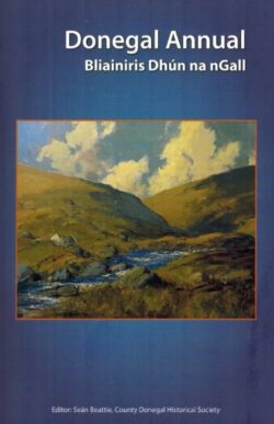
An update on archaeological research at the castle will be given by Richard Crumlish, noted archaeologist, in the next edition of Donegal Annual 2013, due in the autumn.
Readers of this column will be pleased to hear that the ATLAS OF DONEGAL is now ready for the printers and due in mid-May. See Cork University Press website for details.
Leave a Reply